9 Jul 2026
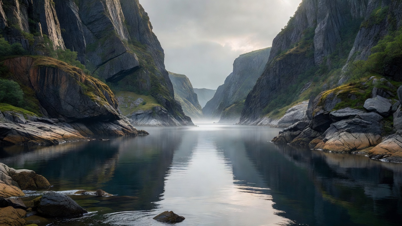
Barrelfjord lies along a sheltered stretch of coastline known for steep rock walls and calm waters. The fjord extends roughly 25 kilometers inland, creating a natural corridor that influences local weather patterns and supports distinct marine ecosystems. Travelers often note the contrast between the dark cliffs and the reflective surface of the water, especially during the long summer daylight hours.
Geographical Features
The terrain around Barrelfjord rises sharply from sea level to elevations exceeding 800 meters within a few kilometers. Glacial deposits have shaped the shoreline into a series of small bays and headlands. Freshwater streams enter the fjord at several points, creating mixing zones that attract fish and seabirds. During winter months, surface temperatures drop enough for intermittent ice formation along the edges, though the main channel remains navigable year-round.
Vegetation is sparse on the upper slopes but becomes denser near the water, where birch and willow stands provide limited shelter. Hikers can follow established trails that ascend gradually, offering viewpoints across the full length of the fjord. The area experiences frequent mist, so navigation tools remain useful even on marked routes.
Historical Background
Human presence in the Barrelfjord region dates back several centuries, centered initially on fishing and seasonal hunting. Early settlements clustered near the mouth of the fjord where access to open sea was easiest. Over time, small boatyards developed to service local vessels, and the sheltered waters proved suitable for timber floating from inland forests. Archaeological surveys have identified stone foundations and mooring posts that indicate continuous use since at least the 17th century.
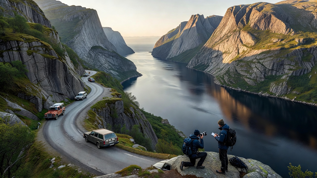
Modern infrastructure arrived gradually. A single road now parallels the western shore, connecting scattered farms and a handful of year-round residences. Electricity and basic telecommunications reached the area in the late 20th century, yet the population density remains low. Preservation efforts focus on maintaining the original wooden structures that still line parts of the shoreline.
Practical Information for Visitors
Access to Barrelfjord is possible by car via the coastal route or by ferry from nearby ports. Public transport is limited, so most visitors arrange private transfers or rent vehicles. Accommodations consist primarily of small guesthouses and self-catering cabins; advance booking is recommended outside the winter season. Local regulations require permits for camping on public land and restrict motorized boats in certain bays to protect wildlife.
Weather can change rapidly, so layered clothing and waterproof gear are essential. Guided boat tours operate from spring through autumn and provide safe passage along the steepest sections. Emergency services are reachable by phone, though response times may be longer than in urban areas. Respect for private property and quiet hours helps maintain the low-impact character of the region.